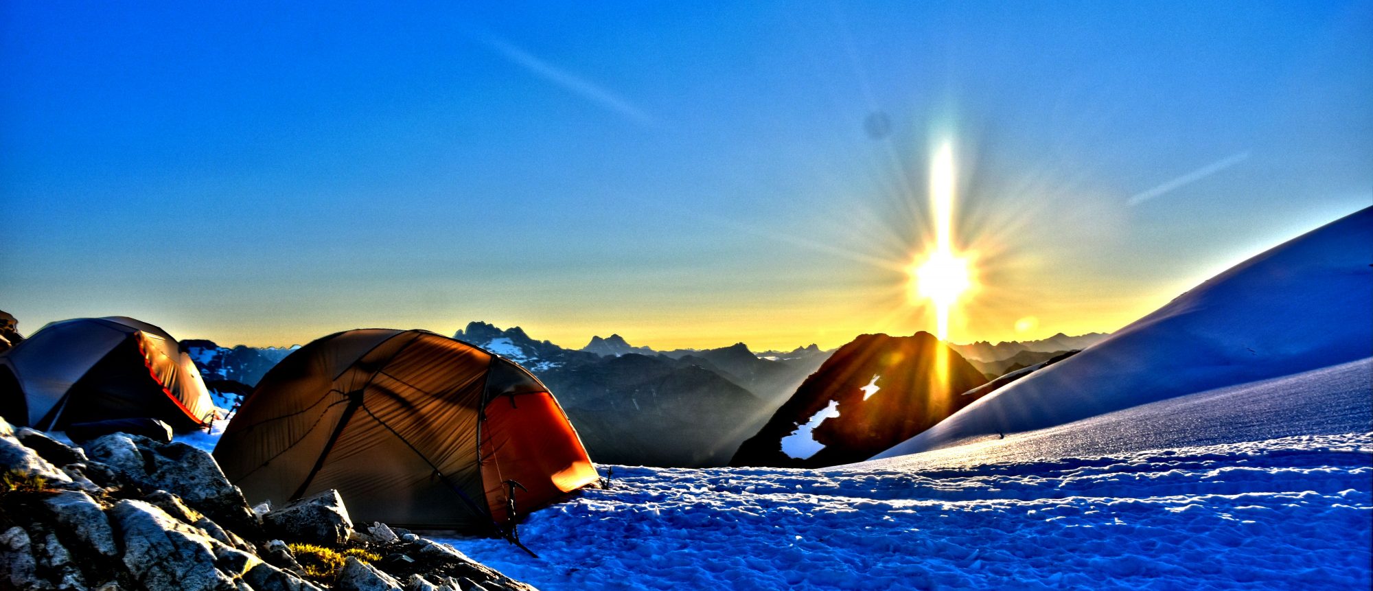
Day 23: Mile 369 to 381 (12 miles)
Got a ride back up to the trail head by Curtis and got my pack and poles out of the trunk. Said my thanks and goodbyes to him and just so happens a couple people needed a ride into town, so he was able to give them a lift back. I started my hike when I ran into Legend not to far down the trail. We talked about soccer and he wanted to play goalie against me on the trail. He set up a goal in the dirt using my hiking poles as goalposts and wanted me to throw pine cones as if they were the soccer balls. I threw a few tests ones at him to see how this was going to work and he quickly decided he needed to put on some gloves as the pine cones hurt more then he probably expected. I got some good throws in there and watching him dive around in the dirt to make a save. I was pretty impressed for what he could and was willing to do to try and save a pine cone from getting past him in the mountains. I made sure to sneak a couple passed him but it was fun to do something random like that in the trail and bring sports out in a different way.
I continued hiking until I got to the point where the trail splits at Vincent Gap and its time to climb Mt. Baden-Powell. I went to reach for water and nothing. Something wasn’t right and I reached to the other side and no water once again. I just realized that my water bottles I just loaded up, must of slid out of the pockets and were still sitting in the trunk of Curtis’s car. The climb was going to be steep and it was hot out today. I spent 30 minutes deciding what I was going to do. I only had two liters of Gatorade with me and I will need water sooner then later for dinner and to drink. Here at Vincent Gap, there is a PCT detour that is in place for during high snow years, hikers can stay low and not worry about snow on Mt. Baden-Powell. According to my map, it looks like there would be a reliable water source further ahead on the detour and I decided I would take that as I will use less water going this way and could refill and hydrate myself to complete the detour and be back on track. Being the detour was the same distant and nearly the same elevation gain/loss overall, it would work out well.
I spent the rest of the afternoon cruising downhill until I reached the South Fork campground area. I ran into a hiker named Mojave who was also on the alternate route for his own reasons. He told me that he didn’t think there was any water in the area and he wasn’t sure what he was going to do. He was only section hiking but seemed a little worried about his situation. I had a feeling I would know where to find water and took off with my map to go explore. It didn’t take to long before I found the creek with some decent moving water and was able to share the good news with Mojave who was more excited then I was. He told me to come join him for dinner once I got my camp set up since I wanted to camp by the water. I sleep better listening to running water or a light wind, so this was an obvious favorite spot for me. I moved some rocks and made myself a little camp in the rocks.

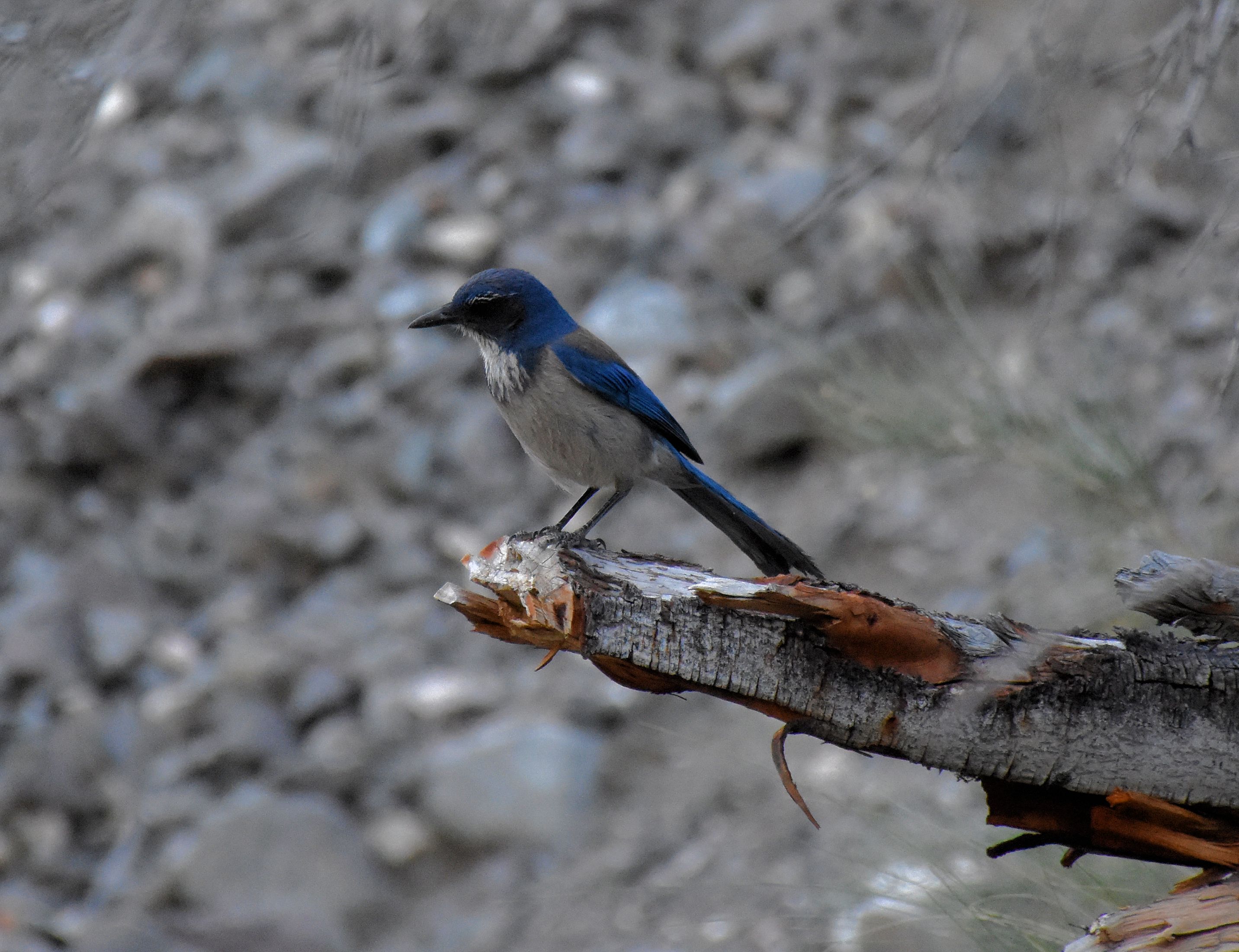
After camp and making dinner, I went off to see Mojave. I walked everywhere and was unable to find him. I kept walking around while eating my dinner and after a bit, I was more worried about his safety as something didn’t seem right when I was talking to him earlier. I know he didn’t continue on and no way he went back. I wondered if he had wandered down towards a road and maybe looking for a ride. At least I hope that’s what he did, cause talking to him, he didn’t sound like he had everything together the way he wanted it. I wandered back to camp and watched some of the birds fly around the area and crawled into my tent as darkness came quickly.
Day 24: Mile 381 to 406 (25 miles)
Woke up and hit the trail early. I started up to finish the detour which was a very steep and dangerous climb. I am curious to know what the alternate is for horses on high snow years. There is no possible way a horse can make it through the trail I am currently hiking on. It took me nearly an hour to navigate the first mile which if I made one wrong slip, I would have a long time during the fall to think about the mistake. I did see an adult male Great Basin Collard Lizard enjoying the sun as you can see him below.
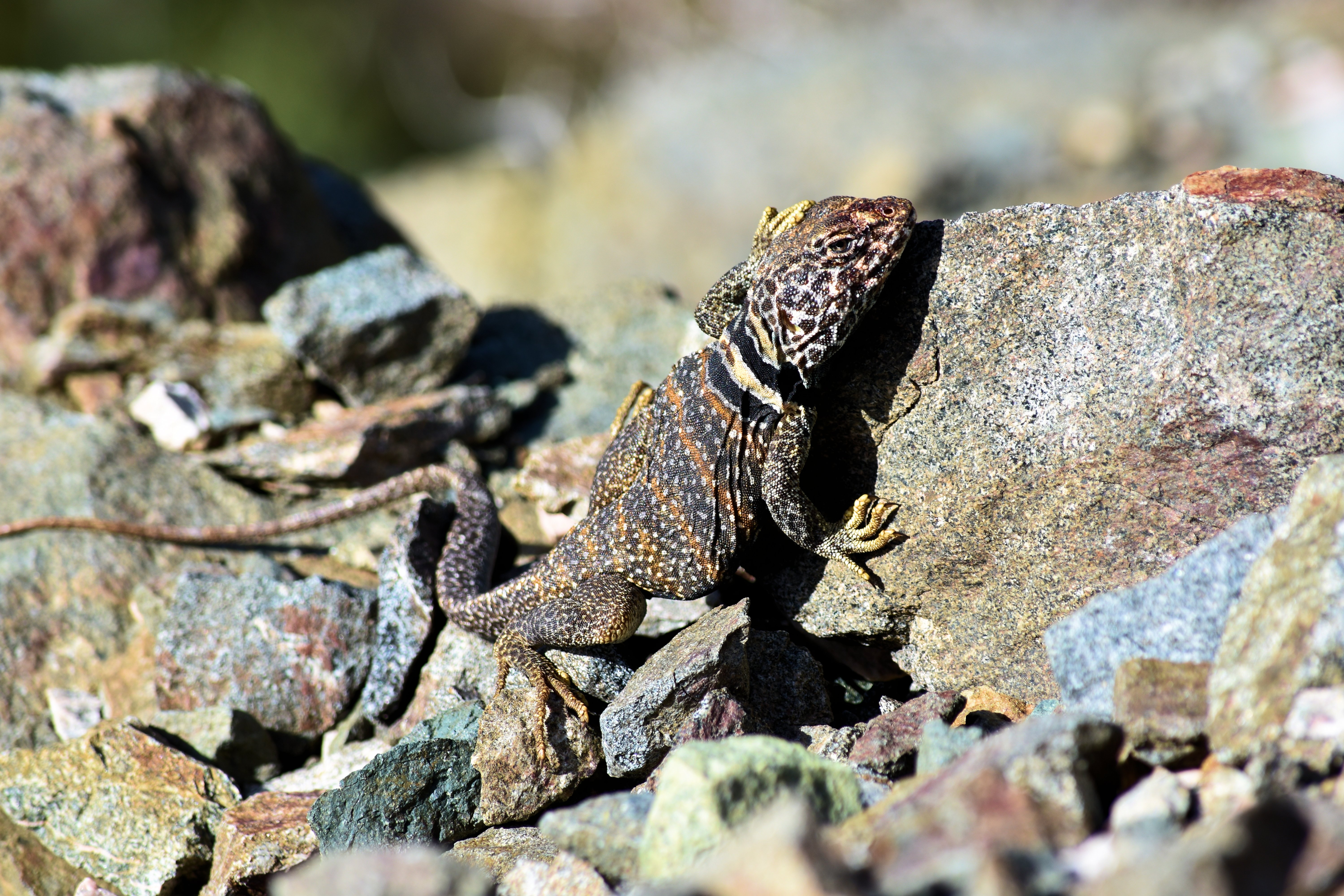
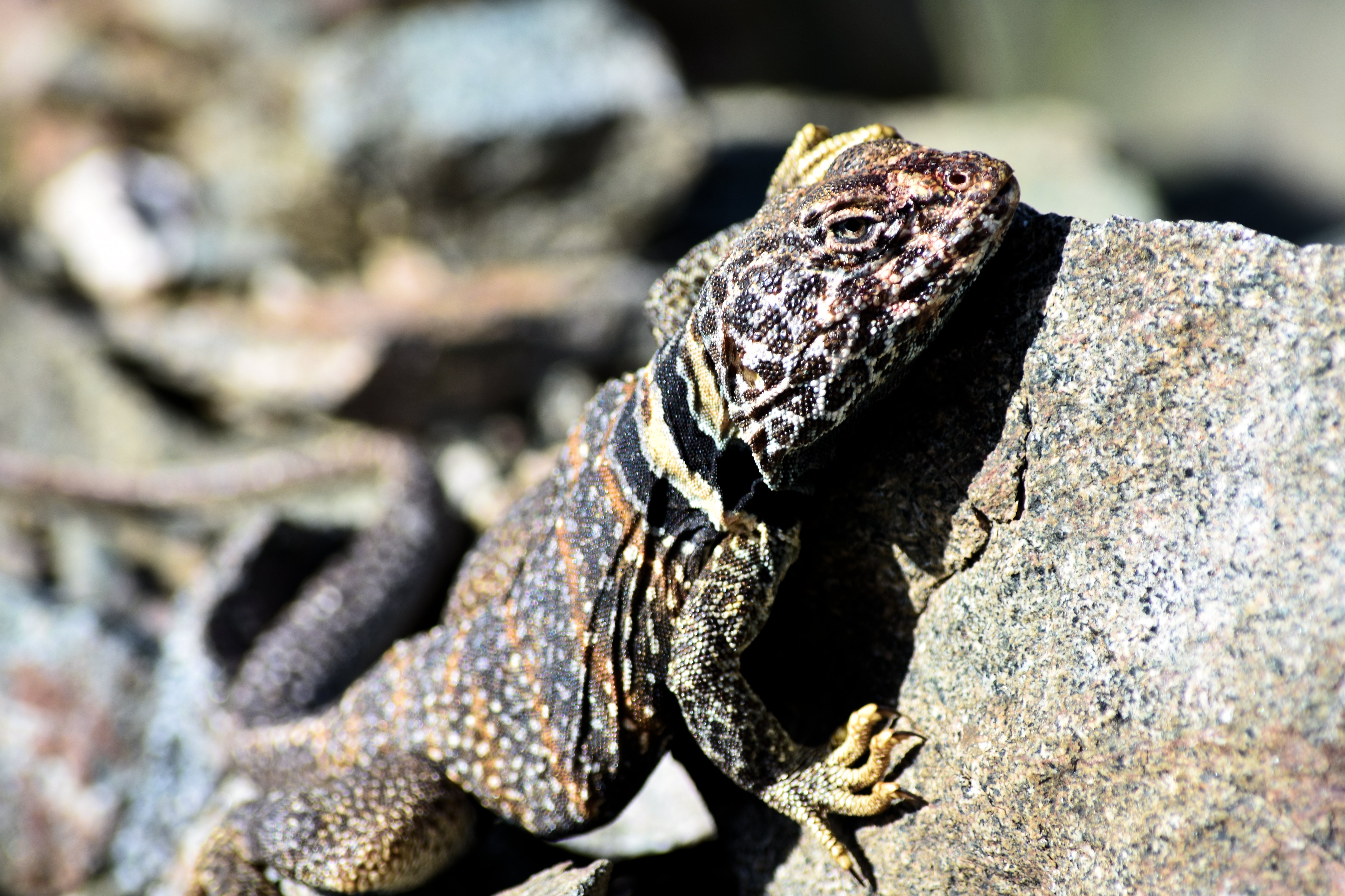
(Great Basin Collard Lizard)
I continued my way back to the original PCT section which didn’t last to long because I had another detour, except this one was planned. The endangered species detour is for the Mountain Yellow-Legged frog. This required a couple miles of road walking which never is fun on the feet. After the detour, it didn’t take long before I was greeted with the 400 mile mark, which means I’m that much closer to leaving the desert and getting to the Sierra’s! I continued a little bit further into the evening and found a spot just before Sulphur Springs and get ready for another high mileage day.
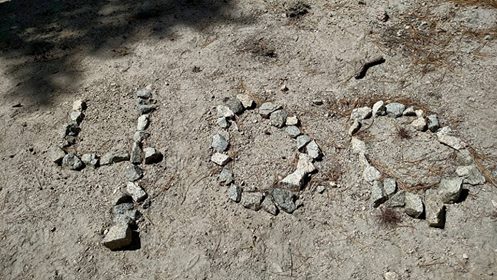
(Reach 400 miles)
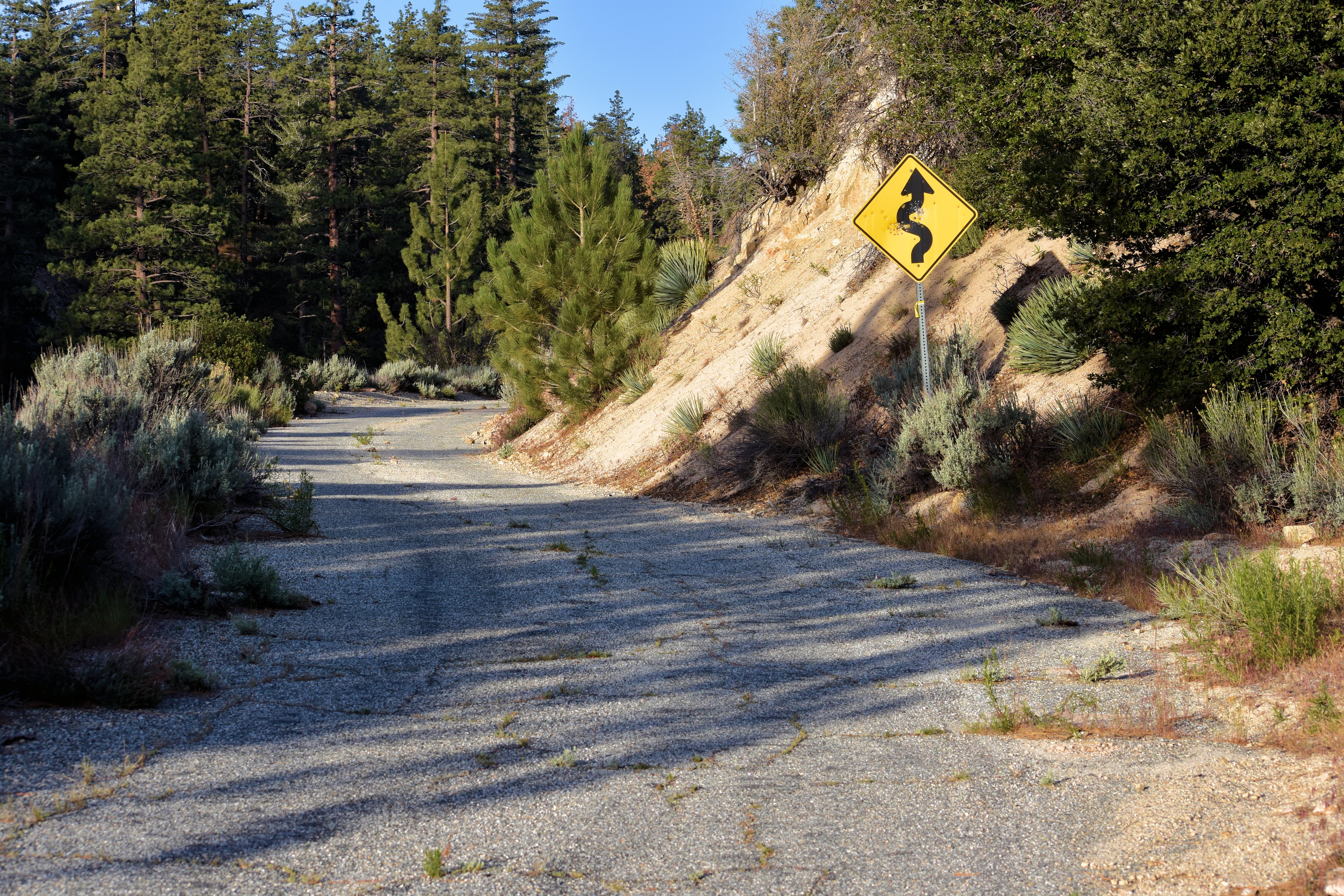
(Old paved road)
