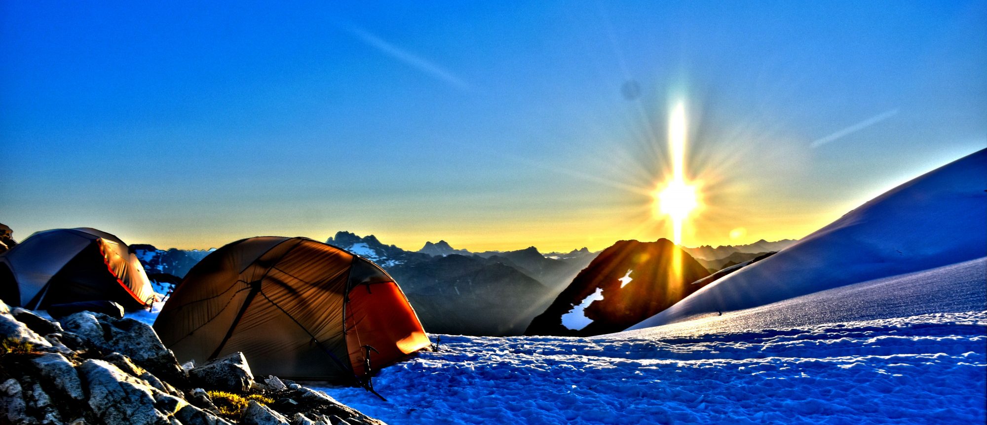
 The Pacific Crest Trail (PCT) runs 2,650 miles from Mexico to Canada. The trail starts in Campo, California on the Mexican boarder and runs through three states (California, Oregon, Washington) and through all but one of the ecosystems in North America and ends in Manning Park, BC, Canada.
- Length: 2,650 miles (4264km)
- Elevation change: 420,880 ft (128,284 m)
- Highest point: Forester Pass 13,153 ft (4,009 m)
- Lowest point: Cascade Locks 140 ft (43 m)
- Trail crosses over 57 major mountain passes.
- Trail dips into 19 major canyons.
- Crosses past over 1,000 lakes and tarns.
- The PCT travels through 25 national forests and six national parks.
Thru-hikers experience a lot over the course of hiking the PCT. Starting with the desert where temperatures can reach 110 degrees (Fahrenheit) and long waterless sections. Fording rivers from time to time and occasionally navigating snowfields once you reach the high Sierras. Hikers only have a small window to hike the whole PCT (Late April – Late September) which requires most people to average about 20 miles a day.
